A Scientific Lecture at the University of Cyprus
The Sunken Peninsula: AI-Assisted Evidence for a Submerged Geometric Complex at the Latakia Ridge
Presented by: Robert Sarmast, Latakia Ridge Research Institute
Date: November 26, 2025
Time: 17:30–20:30
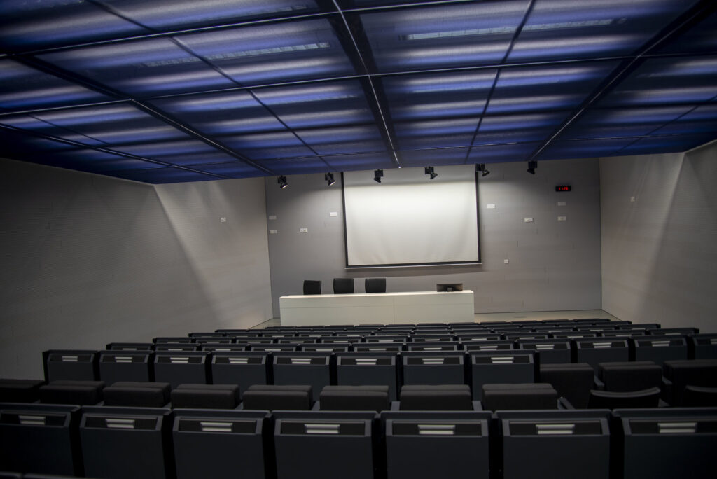
Venue: LRC 012 – Amphitheatre “Filippos Tsimpoglou,” University of Cyprus
About the Event
Join us for a rare, high-resolution look beneath the Eastern Mediterranean—a presentation that brings together AI-assisted bathymetry, marine geology, geomorphology, paleoflood science, and early human coastal history for the first time in Cyprus.
This event will unveil never-before-seen images and 3D reconstructions of an extraordinary submerged landscape on the Latakia Ridge:
a rectangular platform, surrounding moat, straight-line channels, terraces, reservoir-like basins, and geometric intersections lying half a kilometer underwater.
These structures were invisible in earlier seafloor maps. Only through modern multi-dataset bathymetry and advanced AI-enhanced terrain modeling have they emerged with full clarity.
What you will see at this event cannot be unseen — once the geometry is revealed, the summit’s layout is unmistakable.
This talk is designed for anyone curious about the deep past, including:
-
marine scientists
-
geologists and geophysicists
-
archaeologists
-
students and researchers
-
historians and classicists
-
environmental scientists
-
journalists and media
-
policy makers
-
the general public
Whether you come for the science, the history, or the mystery, this will be a striking, visually rich, and intellectually engaging experience.
What the Presentation Covers
1. High-resolution images of the Latakia Ridge summit:
-
Razor-flat rectangular platform
-
Moat-like perimeter depression
-
Straight channels
-
90° intersections
-
Terraced slopes
-
Symmetric basin structures
-
Meandering elevated channel
2. How AI revealed the hidden geometry:
See how algorithmic terrain analysis dramatically enhances the clarity of global bathymetry datasets.
3. The triple-effect submergence model:
A combined explanation involving:
-
tectonic subsidence
-
regional water-level rise
-
late-Pleistocene paleoflood hydraulics
4. Why the site demands scientific follow-up:
Core sampling, ROV imaging, and higher-resolution mapping are the keys to determining the true nature of the summit structures.
5. What this means for Mediterranean prehistory:
A look at what coastal landscapes may have existed before Holocene sea rise submerged them.
Why This Matters
This is not a speculative talk or a sensational claim.
It is a presentation of measurable, reproducible seafloor geometry that challenges what we assume about the Mediterranean basin.
For the first time, the public will see the full-resolution images and models that form the basis of this discovery — and understand why the research community is beginning to pay attention.
What Attendees Receive
Every attendee will have access to:
-
White Paper PDF (2025) available in: English, Greek, Arabic, and Russian
-
Executive Summary PDF
-
Press brief
-
Q&A Session
All materials will be accessible via QR code.
Who Should Attend
This lecture is open to:
-
Students and faculty
-
Scientists and researchers
-
Journalists and news agencies
-
Embassies and cultural institutions
-
Government and policy observers
-
Anyone passionate about exploration and discovery
Admission
Free and open to the public.
Early arrival recommended. Seating is limited.


